
A strong winter weather system moving along the Pacific Coast on Christmas Eve is expected to bring gusty winds to parts of Oregon and Washington, raising concerns about potential power outages and localized damage. Meteorologists say the storm’s final intensity remains uncertain, but residents are being urged to prepare for rapidly changing conditions.
According to regional forecasts, the system is developing offshore and is projected to track northward near the coastline. As it approaches, winds are expected to increase steadily throughout the morning hours before reaching their strongest levels by midday. Weather officials indicate that the most intense conditions could occur between late morning and early afternoon.
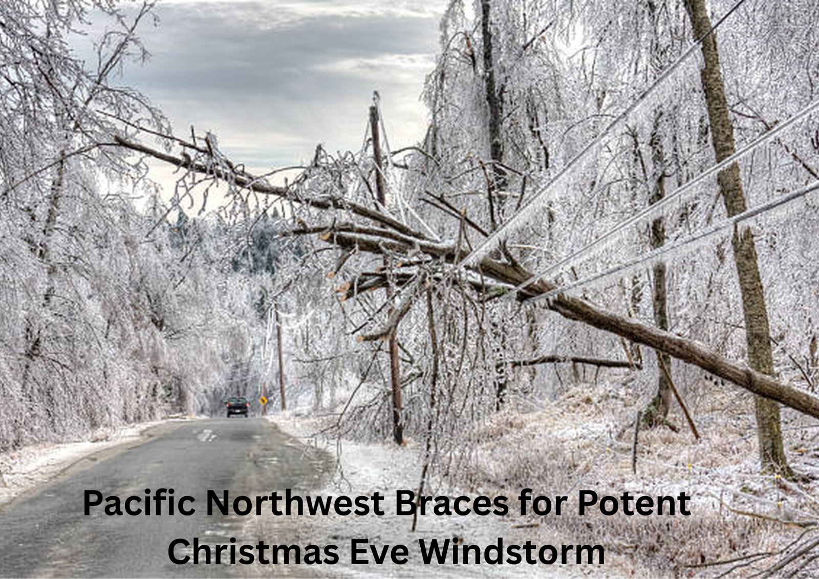
The National Weather Service has issued multiple advisories and watches for areas across western Oregon and western Washington. Wind advisories are in effect for inland valleys, while coastal regions and parts of the Puget Sound area remain under high wind watches. These alerts signal the possibility of damaging gusts capable of toppling trees and disrupting power service.
Forecast models continue to show significant disagreement regarding the storm’s strength. Some simulations suggest wind gusts could exceed 50 miles per hour in exposed locations, while others indicate a weaker system producing only moderate breezes. Meteorologists note that the storm’s exact path will play a critical role in determining its overall impact. A track that stays offshore could result in stronger winds inland, while a move directly over land would likely weaken the system.
Despite the wind threat, rainfall associated with the storm is expected to remain relatively light. Most lowland areas are forecast to receive minimal precipitation, with slightly higher totals possible along the coast. Snowfall in the higher elevations of the Cascades is expected to be limited, with only minor accumulations anticipated.
Utility companies are monitoring the situation closely, especially as saturated soil conditions from recent storms increase the risk of falling trees. Residents are advised to secure outdoor decorations, park vehicles away from large trees, and ensure electronic devices are fully charged in case of outages.
After the system moves through, conditions are expected to calm by Christmas Eve evening. Christmas Day itself is forecast to be relatively mild, with occasional showers and seasonable temperatures. Looking ahead, the latter part of the week and weekend may bring drier weather and improving travel conditions across much of the region.
While uncertainty remains, officials emphasize that early preparation can help reduce disruptions and ensure safety as the holiday storm approaches.