
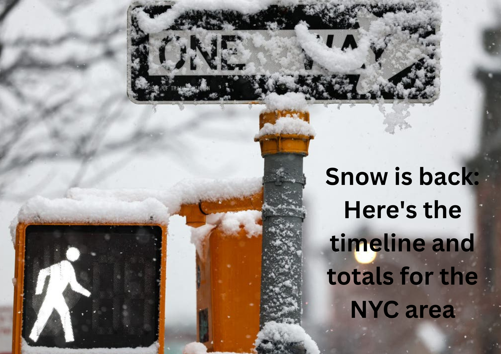
A quick-moving winter system swept through the greater New York City region on Sunday, bringing widespread snowfall, reduced visibility, and slippery roads just as residents wrapped up the long weekend. The National Weather Service issued multiple winter weather advisories ahead of the storm, cautioning that untreated surfaces could become hazardous as temperatures fell below freezing.
Storm Development and Travel Impacts
Snow showers advanced into portions of New Jersey and New York City shortly after sunrise and expanded north and east through midday. The precipitation intensified through the afternoon as colder air pushed in from the west, shifting all mixed precipitation to snow. Peak snowfall rates were observed between mid-afternoon and early evening, contributing to steady accumulations and prompting warnings about difficult travel during the busiest hours of the day. By late Sunday night, the storm tapered and moved offshore, allowing cleanup efforts to begin.
Projected Snowfall Totals Across the Region
Forecasters called for widespread accumulations of 2 to 5 inches, though localized differences were noted. Estimates for key areas included:
- New York City: 2–5 inches
- Long Island: 2–5 inches across the North Shore and western communities; 1–3 inches farther east and along the South Shore
- Central Jersey & Jersey Shore: 2–5 inches inland; 1–3 inches near the coast
- Lower Hudson Valley & Connecticut: 2–5 inches
- Upper Hudson Valley & Northwestern NJ: 1–3 inches
While the National Weather Service advisory suggested lower totals for parts of New York City, some jurisdictions in New Jersey were expected to receive slightly higher amounts due to persistent heavier bands.
Government Response and Emergency Preparations
With advisories in effect from early morning into the evening, municipal agencies across the Tri-State Area mobilized to keep roadways navigable. New York City activated its winter weather emergency protocol, issued a travel advisory, and deployed a large sanitation contingent for plowing and de-icing operations. Officials noted that more than 700 salt spreaders, dozens of bike lane spreaders, and roughly 2,000 personnel were available through the storm’s peak.
County officials on Long Island confirmed that warming centers were opened and emergency service teams were on standby, urging residents to call ahead for schedules and availability. New Jersey transportation officials issued similar guidance, asking drivers to slow down, avoid unnecessary trips, and make space for plow crews.
Storm Context and Community Reaction
The Sunday snow followed a lighter event on Saturday that brought a dusting to parts of the metro region. However, colder temperatures Sunday increased the likelihood that snow would adhere to roads, sidewalks, and elevated surfaces. Hardware stores across multiple counties reported a surge in demand for shovels, de-icing salt, and windshield scrapers as residents prepared for the incoming system.
Although the storm brought noticeable disruption and required coordinated handling by local governments, meteorologists described the event as relatively minor compared to larger winter storms seen in past years.
NASA’s Artemis II Rocket Reaches Launch Pad in Key Step Toward First Crewed Lunar Mission in 50 Years – read the full story in my latest blog!