


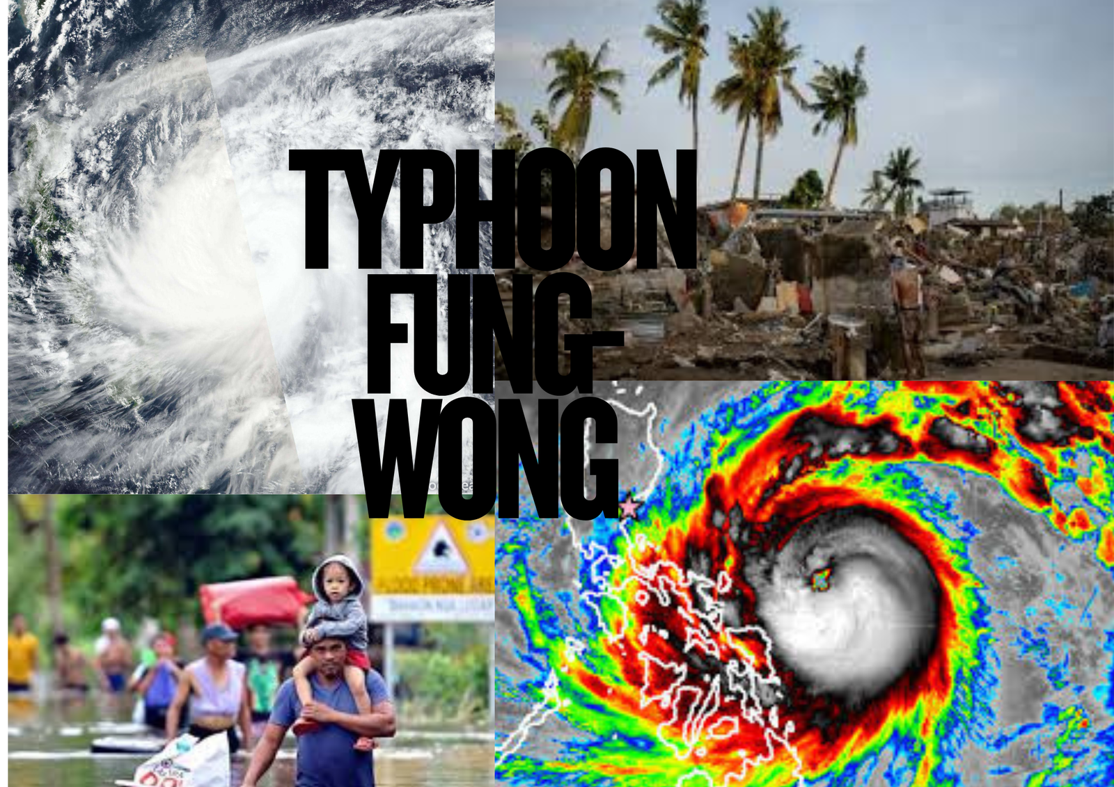
Super Typhoon Fung-Wong, locally named Uwan, has intensified into one of the most powerful storms of the year, prompting large-scale evacuations across the northern and eastern Philippines. With sustained winds reaching 185 km/h (155 mph), authorities have issued the country’s highest storm warning level.
Massive Evacuation Underway
Government officials confirmed that over 100,000 residents have been moved from high-risk zones in Cagayan Valley and the Bicol region. Schools, local government offices, and community centers have been converted into temporary shelters, providing refuge for families in low-lying and coastal areas.
Disaster officials described the operation as one of the largest pre-emptive evacuations this year. “Safety is our top priority,” said a spokesperson from the national disaster agency. “The goal is to minimize casualties before landfall.”
Government Response and Safety Measures
The government has placed several northern provinces under red alert and mobilized the military, coast guard, and emergency medical teams. Relief goods, rescue boats, and power restoration units are already positioned in strategic areas.
Maritime travel has been temporarily suspended, and multiple airports in Luzon have halted operations due to severe weather warnings. Authorities also cautioned residents near rivers and mountain slopes about flash floods and landslides.
Forecast and Expected Impact
Meteorologists forecast that Typhoon Fung-Wong will make landfall late Sunday or early Monday near the Cagayan-Isabela area. Heavy rains and destructive winds are expected to persist throughout the region, with storm surges up to three meters (around ten feet) threatening coastal communities.
Power interruptions and communication disruptions have already been reported in several towns as the storm’s outer bands bring intense rainfall and gusty winds.
Recent Weather Trends
This storm arrives only weeks after Typhoon Liwayway battered parts of northern Luzon, leaving significant infrastructure damage in its wake. Experts say the ongoing La Niña weather pattern could be fueling stronger and more frequent cyclones across the western Pacific.
The Philippines, located in the Pacific Ring of Fire, experiences an average of 20 tropical storms every year, making it one of the world’s most disaster-prone nations. Officials continue to urge vigilance, especially in flood-prone and mountainous regions.
Developing Situation
As the super typhoon continues its path toward the mainland, authorities are closely monitoring potential secondary effects such as flooding, landslides, and extended power outages.
Emergency hotlines have been activated nationwide, and citizens are advised to follow official weather updates and heed all evacuation orders.